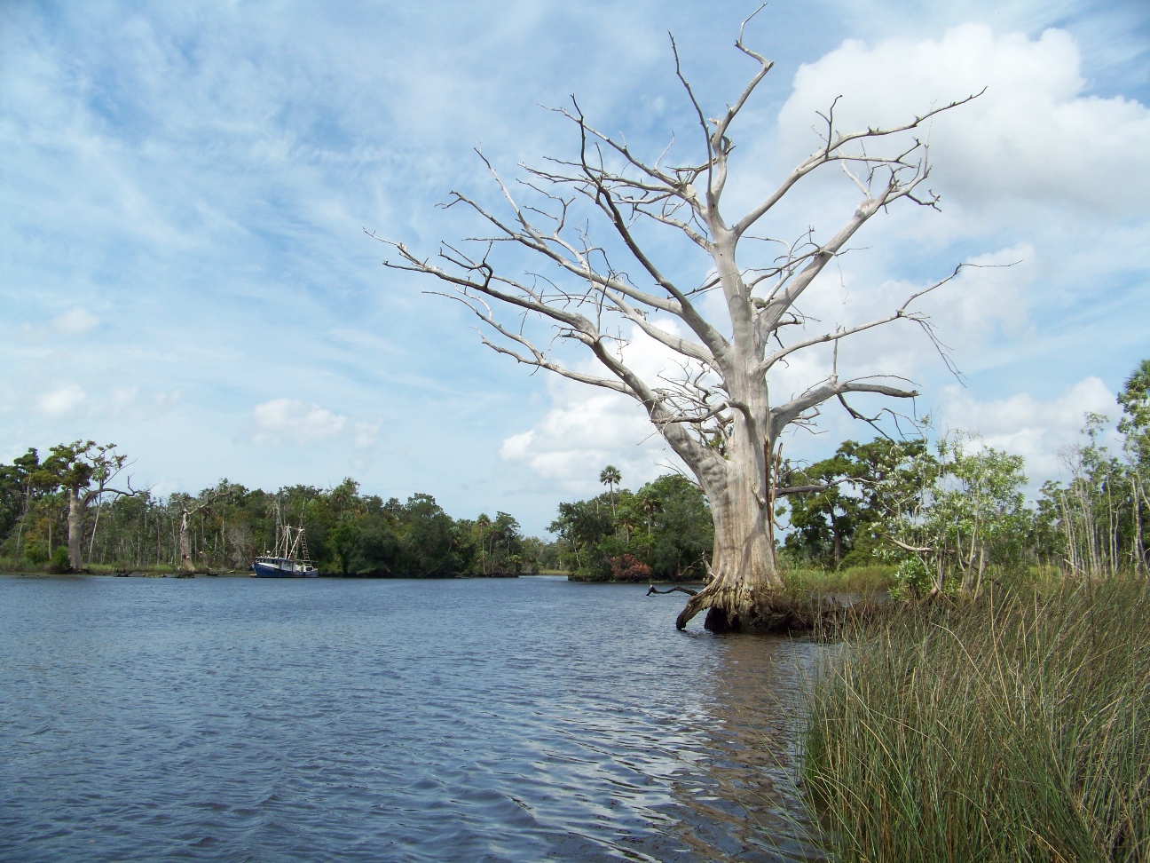
Shoreline Mapping of the Withlacoochee River
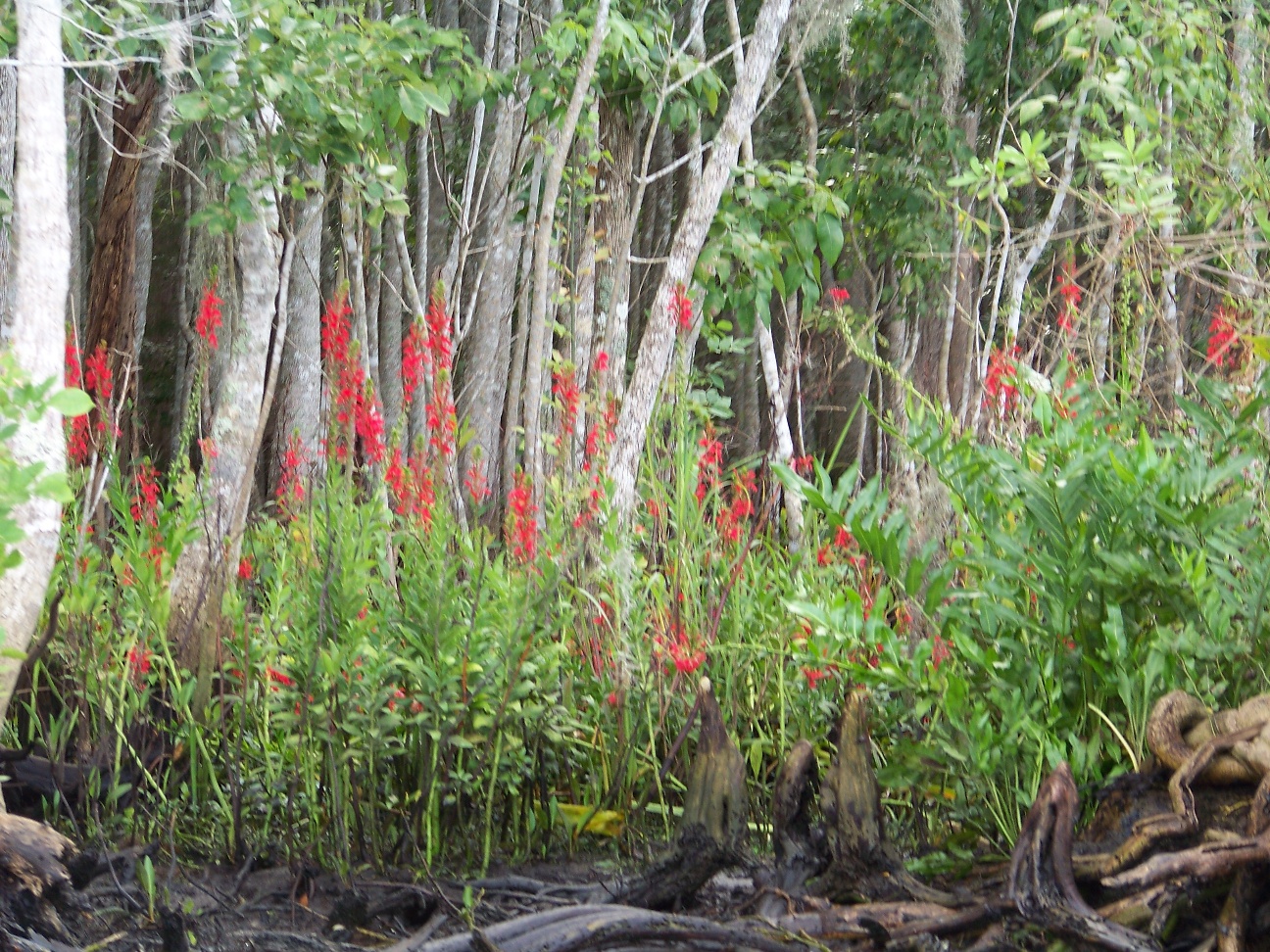
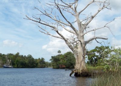
Study of west-central Florida tidal rivers for the purpose of establishing regulatory minimum flow levels. Understanding historic flows of tidal rivers can help re-establish appropriate levels after years of alteration. One approach to understanding historic flow is to analyze the community composition of shoreline vegetation, which shifts with tidal influence.
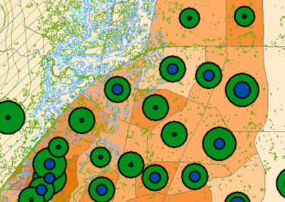
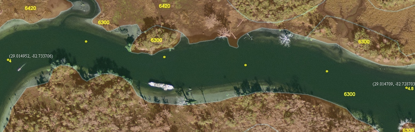
Using GIS to identify and analyze these shifts in shoreline type in the context of river salinity signatures can provide insight into appropriate flow levels for maintaining river ecology.
Project Location
Withloacoochee River, Hernando County, Florida
Dates of Work
2010
Client/Partners
Mote Marine Laboratory, Southwest Florida Water Management District
Services
Field sampling, GIS analysis, statistical analysis, mapping